Cape Horn Trail Run - Beyond Horses


It is no secret that a Cape Horn Loop is a very popular hiking destination among Washingtonians and Oregonians. And it may have become even more popular since the beginning of COVID-19 pandemic.
We like it. However, it is not our top weekend hike on the Washington side of the Columbia river. I couldn’t really say we are very frequent visitors here. We try to come here for a quick hike, only if we are not in the mood to drive further east on the State Route 14. There are couple other hikes that we visit more frequently on this route and I will try to blog about it some other time (I promise!).
One thing that we absolutely love about Cape Horn Loop though is getting to the platform with wild horses. Basically, there is a family owned farm about 3.2km (~2mi) up from the trailhead. For several years this used to be our standard end of the trail. Up to the horses, enjoy seeing them and then hike back down for a total of 6.6km (~4.1mi). Horses farm is at about 379m elevation and it is marked as GATE on the Cape Horn Trail (#4418) vicinity map (provided by the Forest Service tail website). If you head up there, please have in mind that feeding and petting horses is not allowed (think of the impact of each visitor trying to do that).
However, two weekends ago, I have decided to do something completely different. My father in-law mentioned the idea of exploring other side of the loop - which you may have already guessed, continues beyond horses. And not just hiking it, but actually trying to run it in order to hit all other remaining viewpoints. It didn’t took long to convince me and to bite to the idea.
So I decided to try it. And in the rest of this post, I would like to focus on what was new and exciting part for me - beyond horses. I guess I will start with first surprise. I was always under the impression that the other side of the loop is somehow more visited because it is could also be tied to the State Route 14. But as soon as I started running from horses platform and after a little bit of gravel road, I started noticing that I may be alone for the most part. It was mostly uncrowded (especially if I compare it to number of people and cars parked at the trailhead only a weekend before). And what about things that you can see if you decide to go beyond horses, you may ask? Well, there are total of 4 viewpoints, and according to the map above, 3/4 are more known and come in this order as you are droping the elevation on the trail:
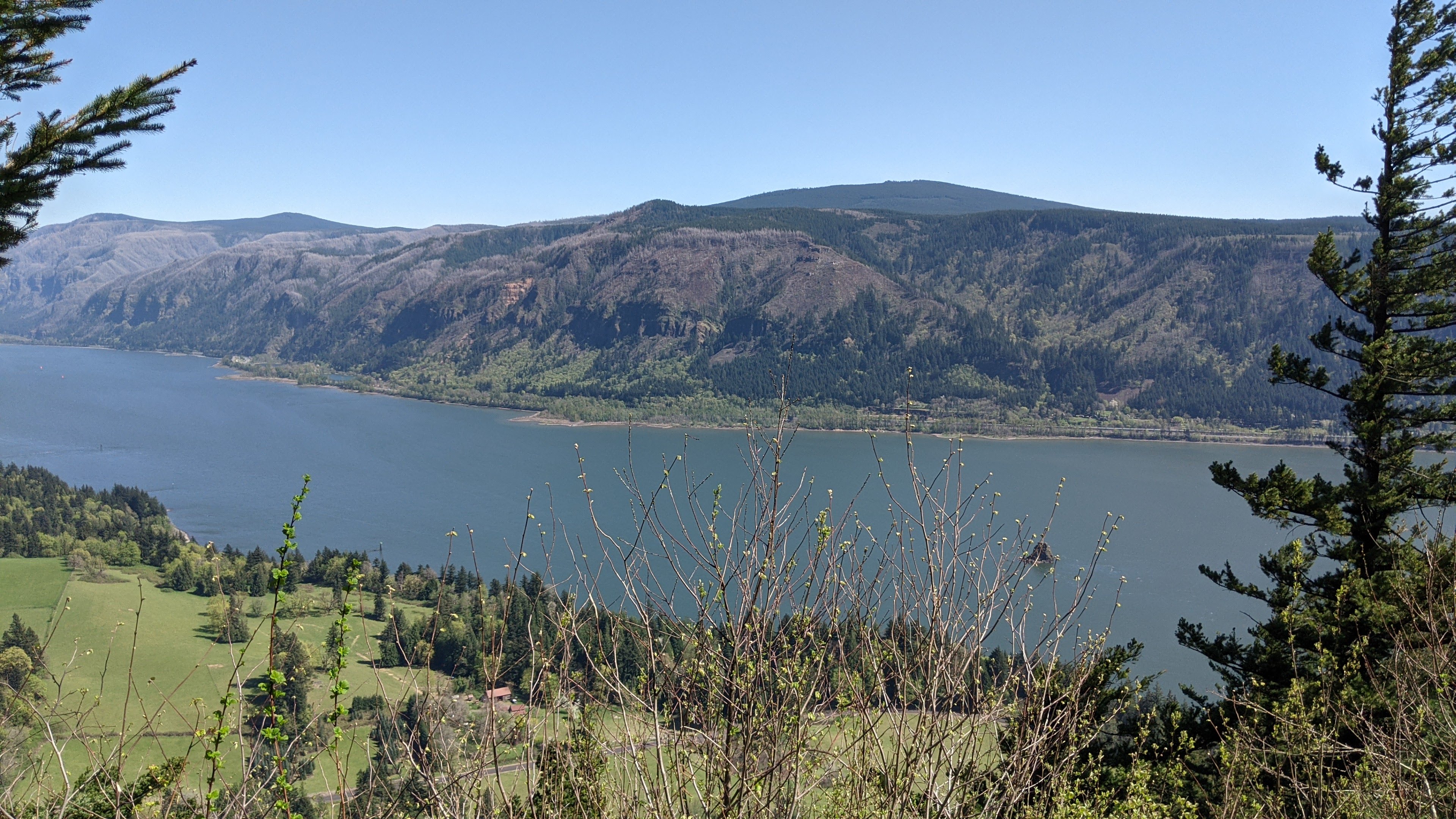
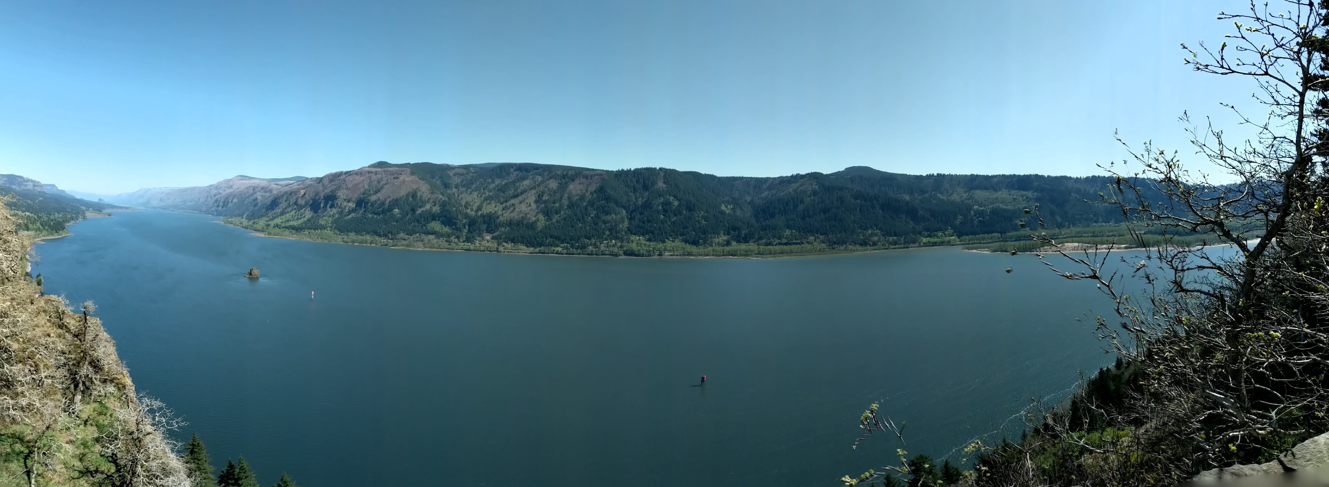
I have added pictures from each to the gallery of this post. There is one more viewpoint, but it is significantly smaller and very steep and it comes after the Nancy Russell Overlook. I assume it is not much advertized as it doesn’t allow for more than 5 people to make a break and observe the view at the same time.
At some point I hit the sign showing that going further is prohibited. Later I learned that this is also the farthest point you can hike during peregrine falcon nesting season (February 1st to July 15th). At that point my watch was already showing ~6km and I still had to go back. But I really liked the Windblown Fir Viewpoint and decided to take a good break there. It was really enjoyable sitting on the grass with small winds and looking down on the Columbia River. Another thing that made this break great was Lemongrass+Cherry+Matcha Livbar. I had one that we picked up at the Portland Marathon 2019 opening at Oregon Convention Center, when my friend Irfan Šljivo came up from California to run PDX Marathon. I have no idea how this bar didn’t get eaten since then, but it was amazing and I absolutely will need to order more.
So after the great break on that viewpoint, it was time to go back up to horses and then come down to the trailhead - returning 6km. I was already quite tired and had only less then a half jug of water container, so I had to be more rational about hydration while returning. I made another breathing break when I reached horses again, less than 5 minutes probably. It took me 1h sharp to come back to treailhead after resting at Windblown Fir Viewpoint, for the total of ~12km.
Some other stats of this run are below:
- Distance:
12.00 km - Elapsed Time:
2:45:53 - Moving Time:
1:30:39 - Time:
1:34:11 - Min Elev:
148 m - Max Elev:
398 m - Calories:
1,154 C
For those interested in Garmin trail of this run that you could follow, I have exported route in GPX file activity_6625084157.gpx (click for download).


